This project compares the Duke Chapel 3D model project and the panoramic photos provided by the Mapping Gothic France project.
Duke Chapel
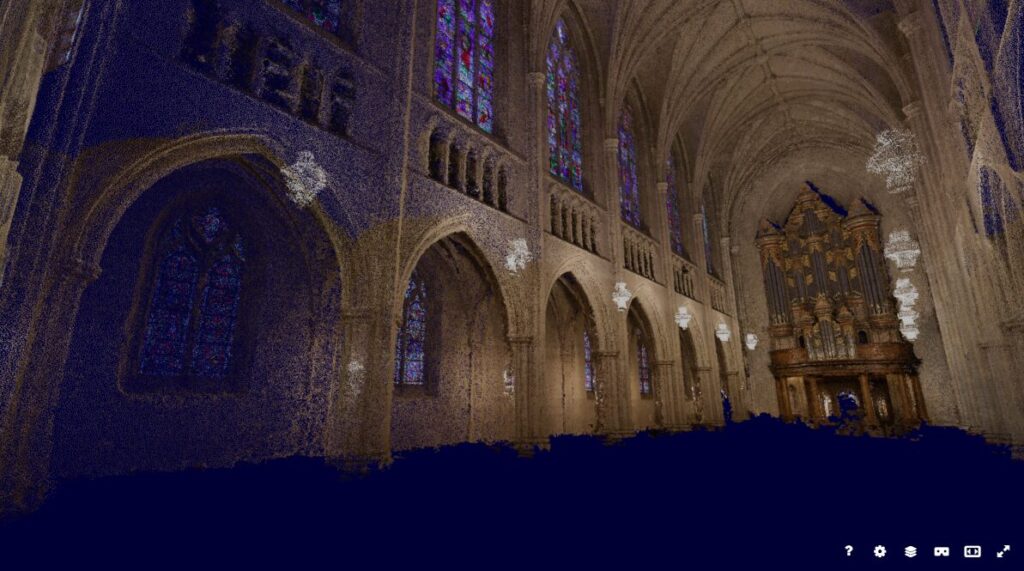
The Duke Chapel 3D model is the result of photogrammetry, the combination of multiple (in this case, 1,430) photos into a single set. The result is a 3D model, as seen below.
There is not, in this case, a lot of additional data from the project. It seems to have been carried out mostly to teach the method to prospective researchers, so there is little effort put into documentation outside of basic attribution. The model itself, however, has some shortcomings on the matter of detail. Because it is constructed out of tiny points with dead space in between, when a user attempts to zoom in to see the structure’s detailing, the image breaks apart, as is demonstrated below.
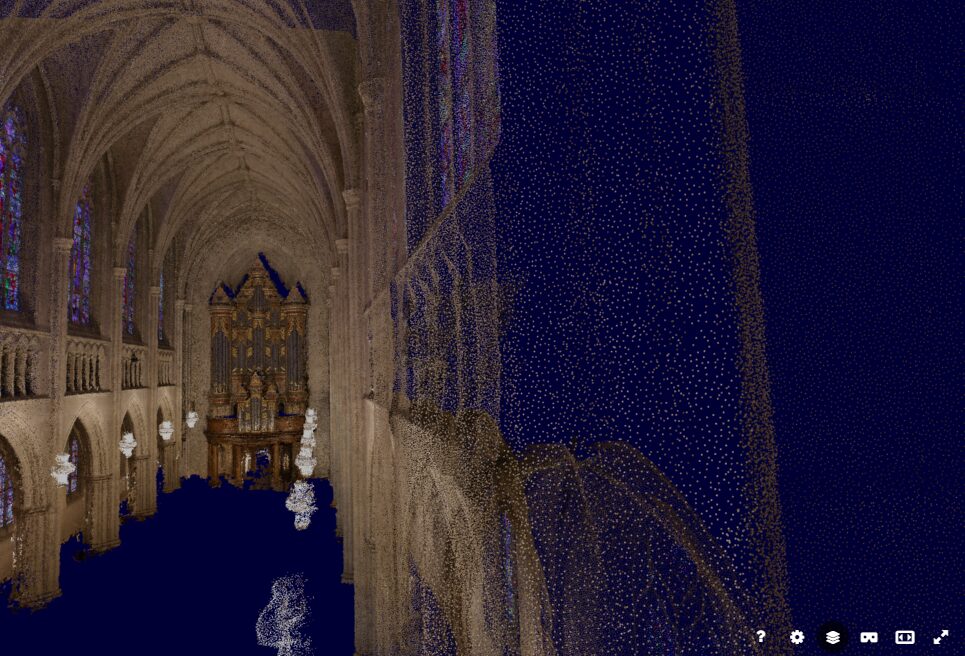
The result severely reduces the project’s value to researchers. Without access to the original photos, users are left with just a basic outline of the building’s shape and color. Assessing anything in closer detail would require separate data or their own visit.
Mapping Gothic France
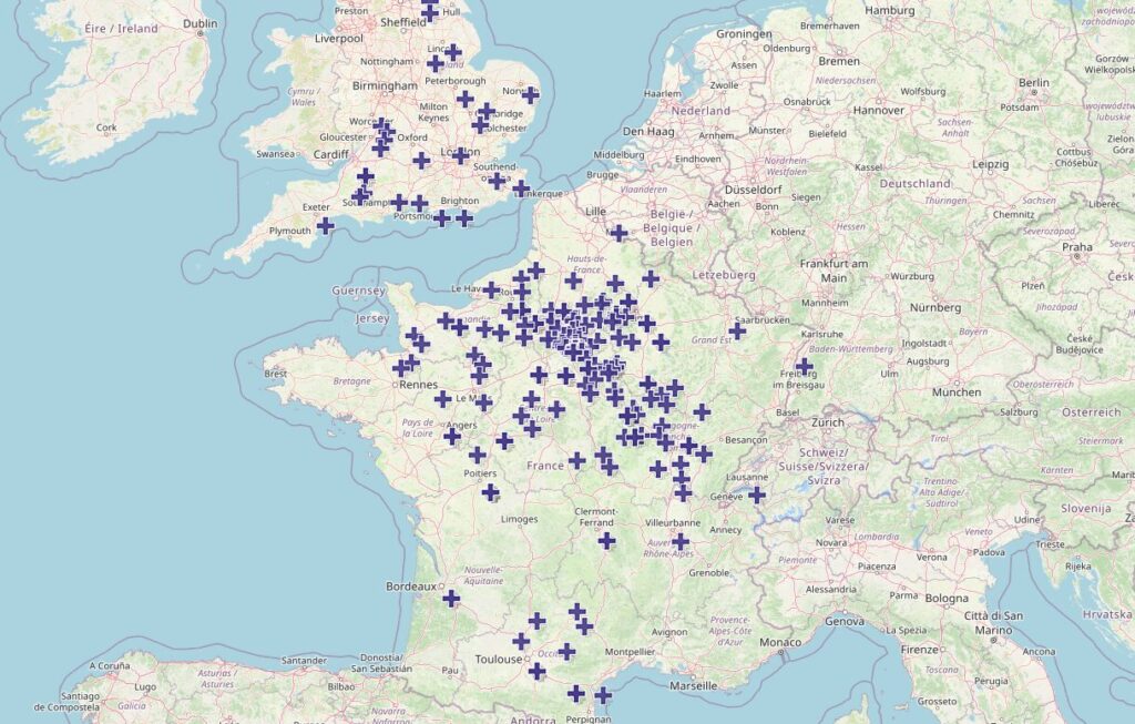
Unlike the Duke Chapel project, Mapping Gothic France is a large, multi-structure affair covering dozens of cathedrals across France and formerly French-controlled areas. Each can be selected for further information from this map by clicking on the relevant point.
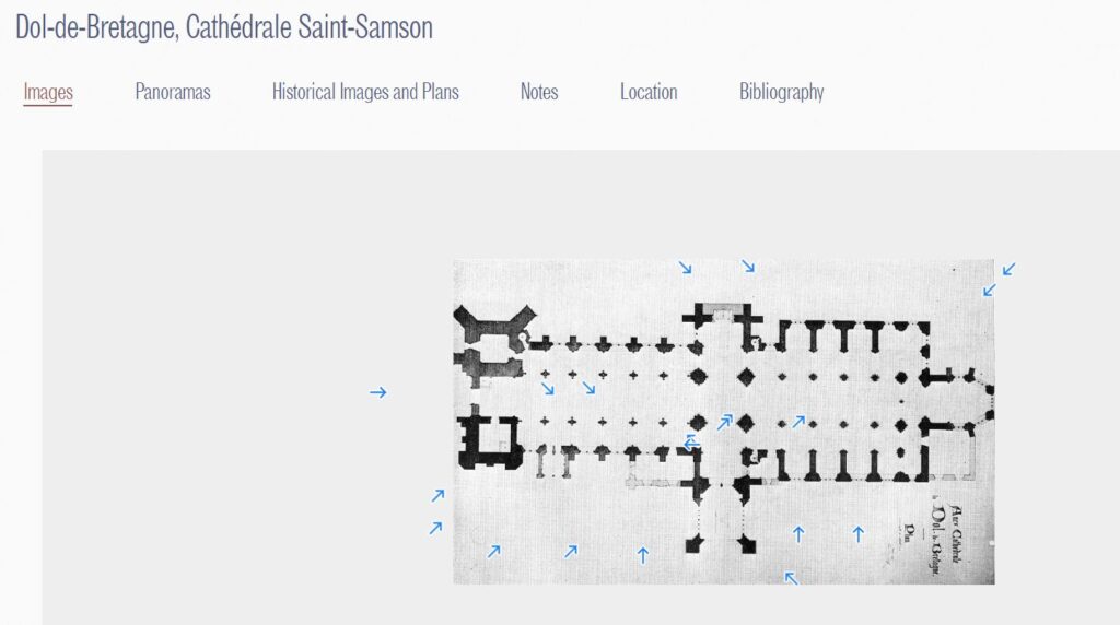
Also unlike the Duke project, this one has no shortage of data. Mapping Gothic France is quick to provide users with bibliography, floor plans, and anything else it can get its hand on.
The key comparison between the two projects, however, is the panorama. While not manipulable, this image is high-resolution and provides all of the detail which was lacking in the Duke project.
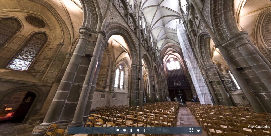
While users can’t see certain parts of the church, such as those obscured behind pillars, the Duke project loses coherency when users zoom close enough to check in such places anyway. As a research tool, the panoramic is a clear choice.