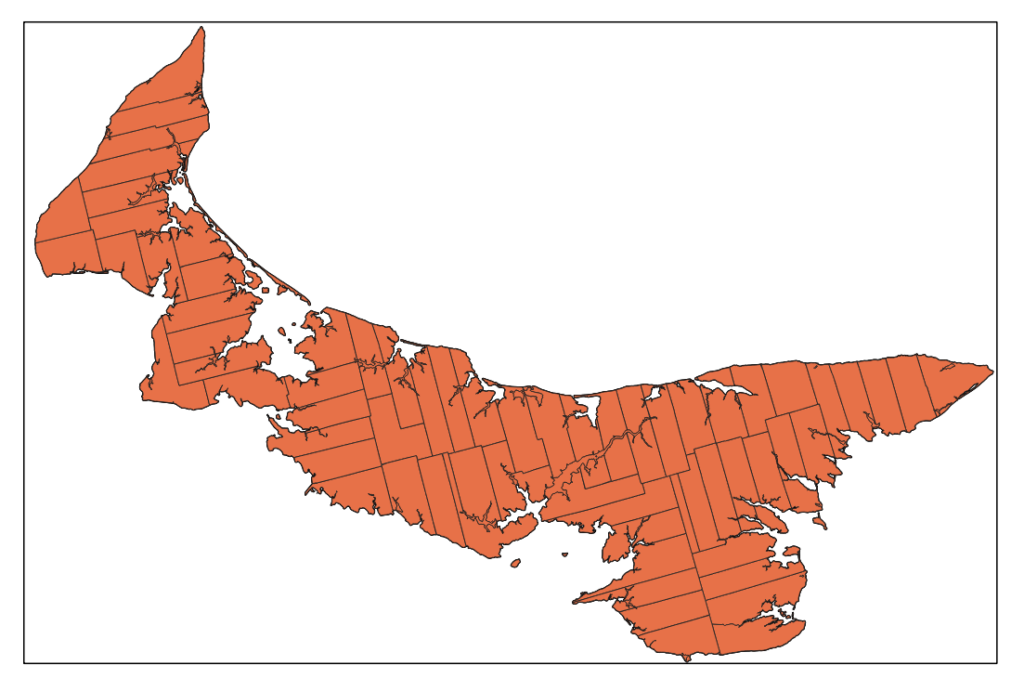
For one more time, I’m returning to QGIS to work with the Prince Edward Island project outlined on Programming Historian. For this project, I’ll be focusing on Georeferencing. Right away, however, I ran into just how outdated the Programming Historian lesson is as it tries to get me to download an extension, Georeference GDAL, which has apparently been integrated into QGIS for years now. Skipping that step, I got the new data integrated, showing the lots of Prince Edward Island.
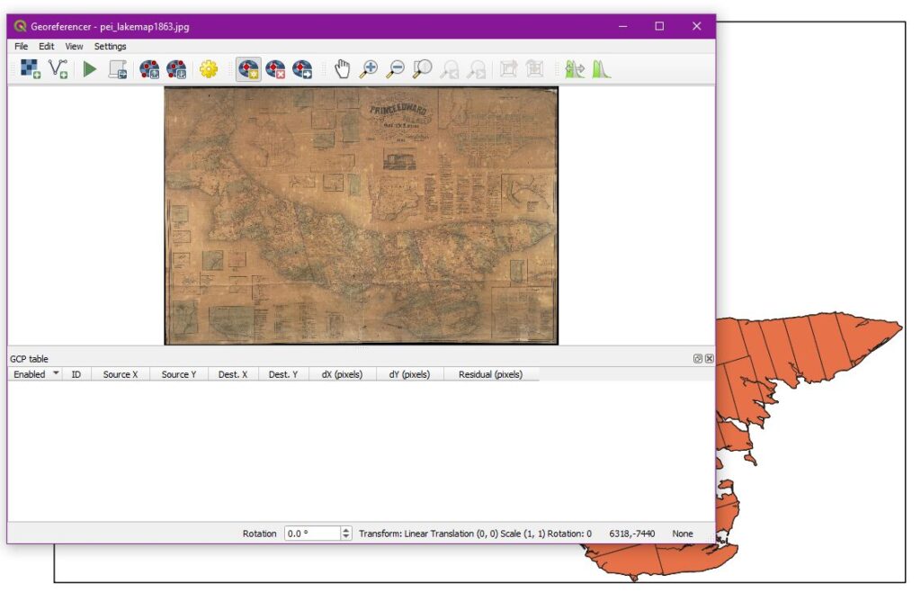
With that in place, I likewise downloaded a vintage map of the island and got it set into the Georeferencer system.
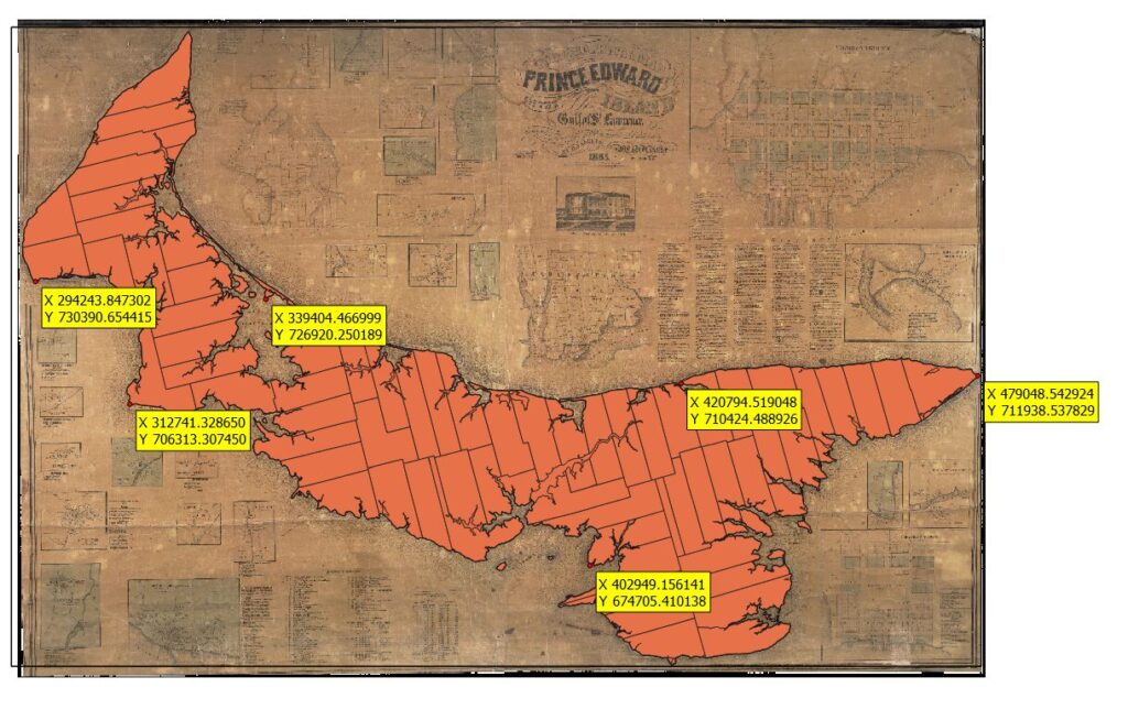
Once this was set up, I started adding georeference points across the island. Since the assignment called for working outside of the three points in the Programming Historian lesion, I was mainly looking to match obvious coastal features between the two maps. After that was complete, I ran the georeference program and got this map as a result (after swapping a few layers around).
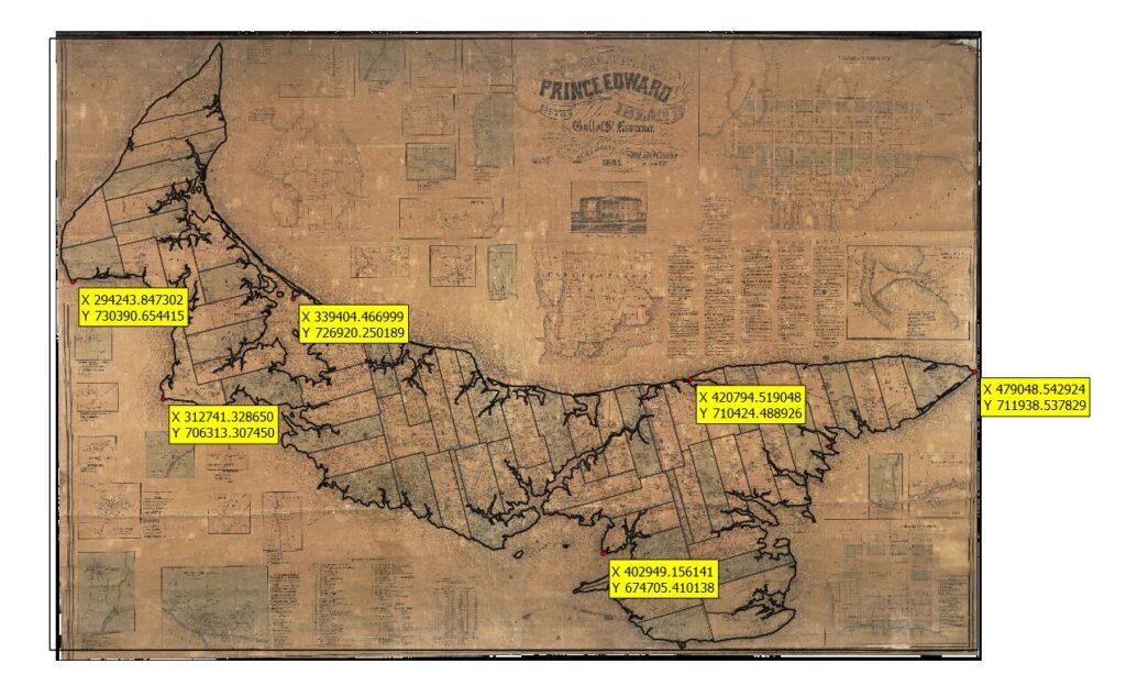
Returning to some basic tools from the previous set of lessons, I removed the fill color, leaving only the lines designating lot boundaries and coastlines on top of the vintage map. Everything appears to have lined up nicely in this case.
The utility of layering older maps onto newer ones should be obvious to any historian. Since older maps commonly show the locations of things which no longer exist, linking them to newer maps can be a great tool when searching for the locations at which said things once did exist. On the Prince Edward Island map above, for example, linking the two maps could be a great aid when studying disputes over lot lines. Adding back in the layers used in previous projects on this map, we could track roads, ports, population movements, and any number of other items. QGIS is a valuable tool that comes at the right price (free). I anticipate it will become involved in a number of my future efforts.